Project Icarus
Eyes in the sky for cleaner coasts
Combining drone technology, multispectral cameras, and AI to detect and map marine debris across Malta's coastline at unprecedented speed and scale.
Combining drone technology, multispectral cameras, and AI to detect and map marine debris across Malta's coastline at unprecedented speed and scale.
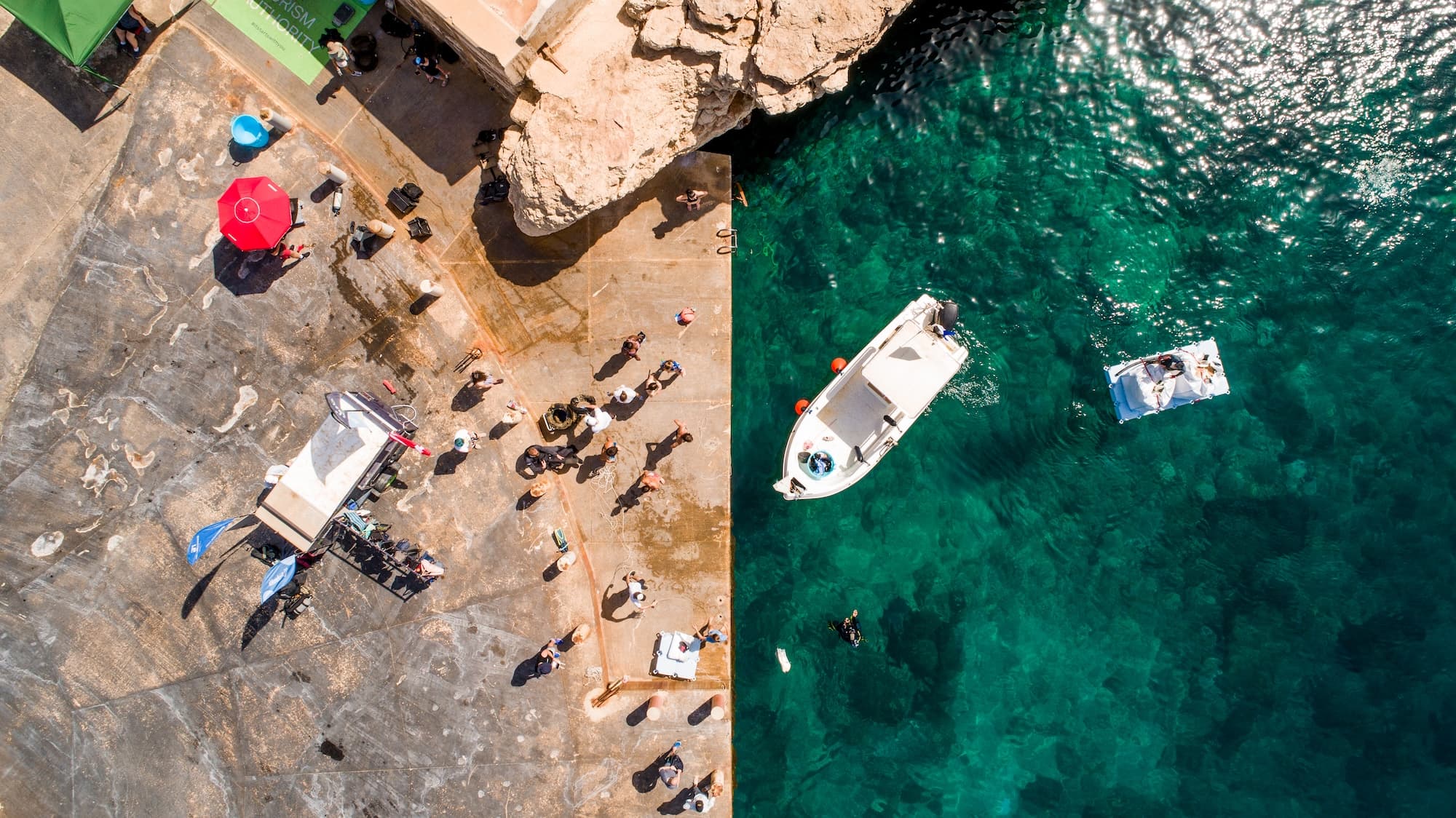
Project Icarus (ICRS) is an applied research project developing a drone-based coastal debris detection system for Malta. By combining unmanned aerial vehicles with multispectral cameras and AI-driven image analysis, the project aims to identify marine litter hotspots across difficult-to-access coastlines quickly and cost-effectively.
Developed in partnership with MCAST and funded through Malta's Xjenza Fund, Icarus bridges the gap between academic research and field operations, delivering actionable intelligence directly to Żibel's clean-up teams.
The project has a 24-month duration and represents a significant step toward technology-led environmental monitoring in Malta.
Unmanned aerial vehicles conduct systematic coastal transects, covering kilometres of coastline in hours rather than days.
Cameras beyond the visible spectrum detect debris signatures invisible to the naked eye, improving detection accuracy in complex terrain.
Machine learning models trained on Maltese coastal imagery automatically identify and categorise debris types from drone footage in near real-time.
Precise GPS coordinates from AI-flagged debris sites are fed directly to clean-up teams, eliminating wasted search time on the ground.